ISCRAMmed 2014 Conference

 “EDIT a methodology for the treatment of non-authoritative data in the reconstruction of disaster scenarios” – Traverso, S., Cerutti, V., Stock,  K., Jackson, M. – has been presented at the Information Systems for Crisis Response and Management in Mediterranean countries Conference in Toulouse,  France (October 15-17, 2014).

2014-10-16_11.49.37

2014-10-16_11.11.47

The paper is also published on C. Hanachi, F. Bénaben, and F. Charoy (Eds.): ISCRAM-med 2014, LNBIP 196, pp. 32–45, 2014. © Springer International Publishing Switzerland 2014.

Screenshot_2014-10-16-11-32-52-1

What is EDIT?

Image

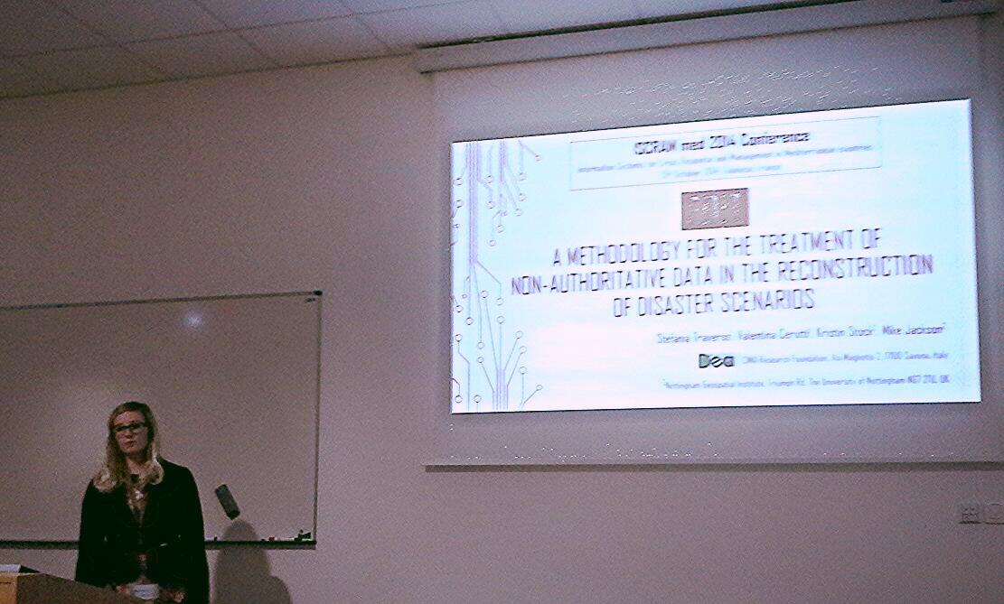
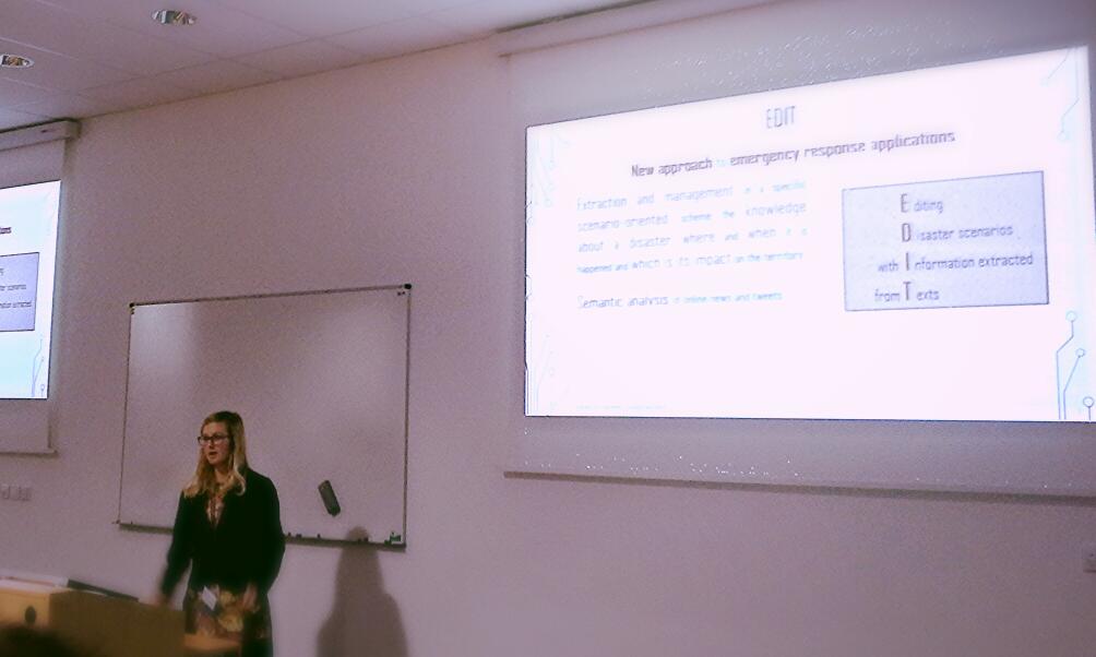
EDIT – Extracting Disaster Information from Text – or – Editing Disaster scenarios with Information extracted from Text – is a methodology to threat textual information extracted from web, originated by non-expert users and referring to the occurrence of a disaster event.

The project is born from a collaboration between CIMA Foundation (Italy) and the Nottingham Geospatial Institute (NGI) (United Kingdom).

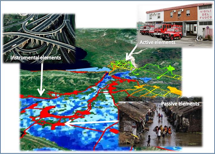
The main goal is the development of a multi-perspective scenario of damage or potential risk using information from non-authoritative data ( i.e. online news, social media, photos, videos) collected during a disaster. The project represents a new contribute to the vision of scenarios and it is focused on the possibility of mosaicking real-time information from heterogeneous sources and a new approach to emergency response applications, integrating a semantic reasoning into an event-based database system with usage of formal domain definitions.  EDIT is structured in many components and uses an operational tool based on Java for analyzing texts through Natural Language Processing (NLP) techniques, semantics and ontologies.

The innovative contribution of the project are:

-the realization of a disaster ontology,

-the conceptualization of a disaster event into a concept map,

-the geographic accuracy analysis which allow to geographically aggregate the information,

-the integration of semantic and rule-based reasoning,

-the creation of a spatial database to handle and select the most relevant event-related information,

-the application of a filter of  semantic reliability and geographic location accuracy on data,

-the representation of these information into scenarios,

-the use of open source software.


DEAs Graduation

Image

2014 – out with a bang: two celebrations in  DEA world!

7th of February: Silvia graduated in Environmental and Energy Engineering (Master degree) with the thesis “Development of a MULTI-HAZAR MULTI-USERS RISK SCENARIO METHODOLOGY and application to a study case”

In collaboration with CIMA Foundation and Vrije Universiteit Brussel

21st of March: Valentina graduated in Environmental and Energy Engineering (Master degree) with the thesis “”Filtering the crowd: EDIT a new methodology for the treatment of non-authoritative data in the reconstruction of risk and damage scenarios”

In collaboration with CIMA Foundation and Nottingham Geospatial Institute

SYSTEMIC VULNERABILITY: past developments and new challenges

Image


Digital Earth Action Task3 has been developed inside a Bachelor Thesis in Environmental Engineering at University of Genoa in 2011. 

Inside this task, a methodology for the systemic vulnerability assessment of infrastructure networks subject to floods have been developed. In this approach the territorial system is modeled through the application of graph theory : roads, villages , buildings are the nodes of the graph while the edges are represented by their topographic connections. Since the arcs are links that do not take into account the topographical functional dependencies between the elements, this approach can also be applied in areas  known only from remote observation.

The relevant territorial elements are those that play a significant role in the emergency management:

  • service providers with active roles in emergency management: hospitals, clinics, first aid, fire …
  • subsystems which show a decrease in their functionality as a result of external stresses and require services from other sub-systems (schools, universities, residential areas or in general areas affected by a large influx of people);
  • instrumental elements (roads, highways, railways …).

The information related to the network is organized in a database , which contains tables specific for each type of exposed element, inside which it is possible to collect all the available information.

The response of the network to the external stress is evaluated by applying an algorithm developed in literature by Minciardi et al.[i], modified to receive in input the residual function of each network element, that is function of the considered hydraulic scenario through damage curves. The algorithm provides as output a value of residual efficiency for the active and instrumental element and a value of criticality for the passive elements, analyzing the influence that each active node and instrumental exercises on the other nodes in the network.

 
The main limits of this approach are related to the applied algorithm that now needs to be changed formally and substantially, changing the structure and also the language in which the algorithm is written.
The new challenge is to re-write a new more functional algorithm for the systemic response in PYTON. 
 
Keep an eye on the blog for future developments.
 
The digital world is an ever-changing world!


[i] R. Minciardi, R. Sacile, A.C. Taramasso, E.Trasforini, S. Traverso., Modeling the vulnerability of complex territorial systems: An application to hydrological risk, Environmental Modeling & Software 21 (2006) 949-960.